 |
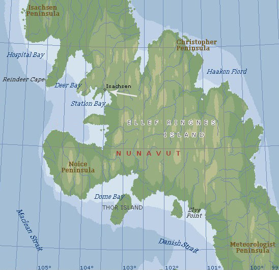
Map of Canada and the arctic region, demonstrating how remote Ellef Ringnes Island really is. The arrow points to the north-western tip of the island. At the moment of the crash, in 1949, the airstrip at Isachsen was one of the most northerly land strips in the western hemisphere. |